

- This event has passed.
Salmonberry Trail Guided Hike: Nehalem River Segment
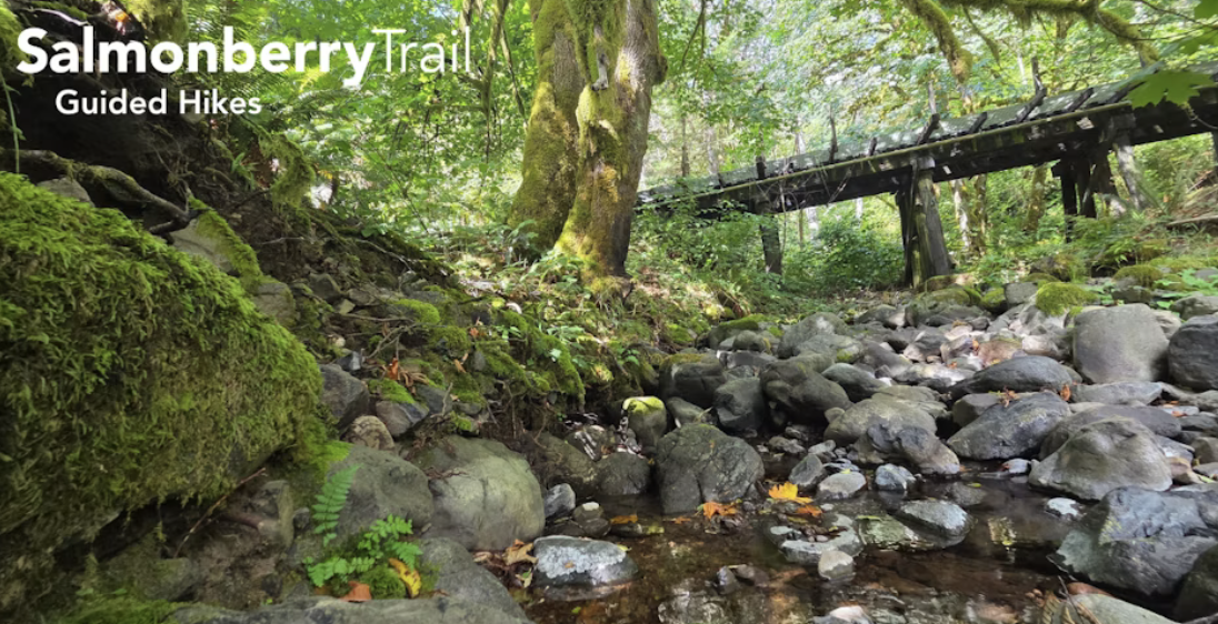
The confluence of the Salmonberry and Nehalem Rivers is an incredibly special place–we are excited to show you the River Segment of the future Salmonberry Trail! We should be seeing some fall colors from the big leaf and vine maples, maybe even some wild mushrooms!
What to Expect: We will hike along the Nehalem River to Snark Creek (1.5 miles in), ~3 miles total. The vegetation in this segment is dense along the path, please weary sturdy, closed toed shoes and long pants. Bring a snack and plenty of water for yourself.
There’s no formal address and no cell coverage in the area, so here’s the most reliable description:
Meet at the North end of the Foss Road bridge over the Salmonberry River
Landmarks: 15.2 miles east of Mohler, 13 miles south of Elsie Nearest known point: Morrison Eddy Campground (the hike parking area is 1.3 miles south on Foss Road)
Coordinates: 45°44’60.0”N, 123°39’08.9”W
Map link: https://maps.app.goo.gl/TrfHCtE91yVFGeQZA
We want everyone to get into the canyon—and out—smoothly.
How to Get There (Read This Part)
Coming from the Portland area:
– Head west toward Elsie
– If you reach the restaurant in Elsie, you’ve gone too far
– Turn onto Lower Nehalem Road and stay on it all the way to the destination
Coming from Wheeler / Coast side:
– Take Highway 53 to Miami-Foley Road
– Follow Miami-Foley to Foss Road
– Stay on Foss Road to the bridge
Please read volunteer waiver here: https://salmonberrytrail.org/volunteer-waiver